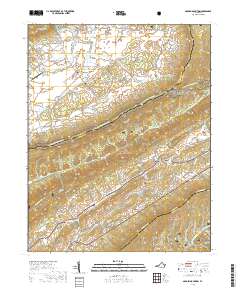
2019 Map of Garden Mountain
USGS Topo · Published 2019About this map
Burkes Garden occupies a unique geologic bowl in the Appalachian Highlands, where the landform creates a natural enclosure surrounded by Garden Mountain and Banks Ridge. This high-altitude valley is defined by its agricultural heritage and distinct drainage patterns, with Burkes Garden Creek collecting waters from Station Spring and Fish Spring before exiting through The Gap near Gose Mill. The settlement pattern is largely dispersed, anchored by family cemeteries like Thompson Cem and Brown Cem, alongside the Burkes Garden Central Church Lutheran Cem.
Find a feature on this map
71 named features on this map. Tap any name to fly to it.
Don’t see what you’re looking for? This feature index may not catch every label — zoom into the map to look around manually.
Map Details
Editions of this 2019 Garden Mountain Map
This is the sole edition of this map. No revisions or reprints were ever made.
Other maps of this area

1887 · Pocahontas
USGS Topo · 1:125,000

1889 · Wytheville
USGS Topo · 1:125,000

1891 · Pocahontas
USGS Topo · 1:125,000

1892 · Wytheville
USGS Topo · 1:125,000

1894 · Pocahontas
USGS Topo · 1:125,000

1895 · Pocahontas
USGS Topo · 1:125,000

1930 · Speedwell
USGS Topo · 1:62,500

1935 · Nebo
USGS Topo · 1:24,000
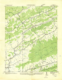
1935 · Tiptop
USGS Topo · 1:24,000
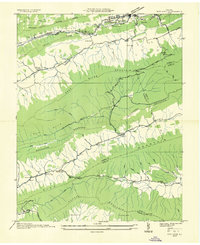
1935 · Nye Cove
USGS Topo · 1:24,000