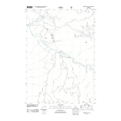
2011 Map of Garden Valley
USGS Topo · Published 2011About this map
Crouch and Garden Valley occupy the mountain-ringed valley floor where the Middle Fork Payette River joins the South Fork Payette River. This 2011 survey documents a landscape defined by its waterways and timber-access infrastructure, with a dense network of forest development roads branching out from the Banks Lowman RD. Local history is anchored at the Garden Valley Pioneer Cemetery and the Garden Valley Post Office, while the community’s connection to the surrounding backcountry is visible through landmarks like the Garden Valley Airport and Hot Springs Campground.
Find a feature on this map
54 named features on this map. Tap any name to fly to it.
Don’t see what you’re looking for? This feature index may not catch every label — zoom into the map to look around manually.
Map Details
Editions of this 2011 Garden Valley Map
This is the sole edition of this map. No revisions or reprints were ever made.
Other maps of this area

1892 · Boise
USGS Topo · 1:125,000

1894 · Squaw Creek
USGS Topo · 1:125,000

1894 · Idaho Basin
USGS Topo · 1:125,000

1897 · Boise
USGS Topo · 1:125,000

1909 · Garden Valley
USGS Topo · 1:125,000

1953 · Banks
USGS Topo · 1:62,500

1955 · Baker
USGS Topo · 1:250,000

1955 · Hailey
USGS Topo · 1:250,000

1955 · Boise
USGS Topo · 1:250,000

1957 · Placerville
USGS Topo · 1:24,000