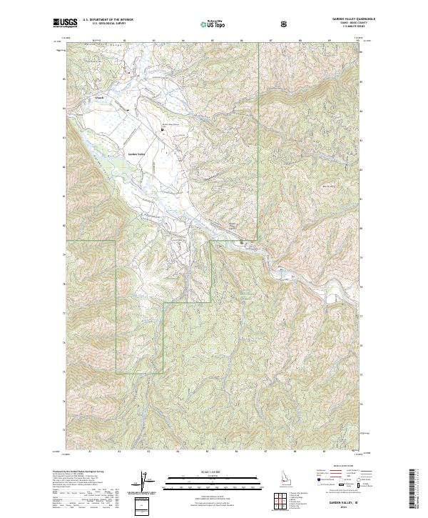
2024 Map of Garden Valley
USGS Topo · Published 2024About this map
The confluence of the Middle Fork Payette River and South Fork Payette River anchors this study of the Boise County backcountry. Centered on the settlements of Crouch and Garden Valley, the map details a landscape where river-valley development meets the steep ascent of the North Fork Range. Local heritage is preserved at the Garden Valley Pioneer Cem, situated near Old Crouch Rd, while modern utility is represented by the Garden Valley Airport.
Find a feature on this map
63 named features on this map. Tap any name to fly to it.
Don’t see what you’re looking for? This feature index may not catch every label — zoom into the map to look around manually.
Map Details
Editions of this 2024 Garden Valley Map
This is the sole edition of this map. No revisions or reprints were ever made.
Other maps of this area

1892 · Boise
USGS Topo · 1:125,000

1894 · Squaw Creek
USGS Topo · 1:125,000

1894 · Idaho Basin
USGS Topo · 1:125,000

1897 · Boise
USGS Topo · 1:125,000

1909 · Garden Valley
USGS Topo · 1:125,000

1953 · Banks
USGS Topo · 1:62,500

1955 · Baker
USGS Topo · 1:250,000

1955 · Hailey
USGS Topo · 1:250,000

1955 · Boise
USGS Topo · 1:250,000

1957 · Placerville
USGS Topo · 1:24,000