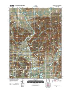
2011 Map of Garden Valley
USGS Topo · Published 2011About this map
The Umpqua River winds through a landscape of distinctive peaks and small rural clusters in this Douglas County survey. At the northern bend, Umpqua Landing and the Umpqua Post Office mark an established community node, while further south, Riversdale sits near the confluence of the North Umpqua River and South Umpqua River. The map is particularly rich for genealogical research, documenting numerous ancestral burial sites including the La Brie Family Cemeteries, Archambeaux Family Cemetery, and Coles Valley Cemetery. Settlement patterns are concentrated in the Champagne Creek Valley and around Cleveland Hill, where agricultural land meets the timbered slopes of Woodruff Mountain. These pockets of habitation, such as Elgarose and Cleveland, are connected by a network of named rural routes like Garden Valley Rd and Melqua Rd, reflecting a region shaped by its river systems and traditional landholdings.
Find a feature on this map
109 named features on this map. Tap any name to fly to it.
Don’t see what you’re looking for? This feature index may not catch every label — zoom into the map to look around manually.
Map Details
Editions of this 2011 Garden Valley Map
This is the sole edition of this map. No revisions or reprints were ever made.
Other maps of this area

1897 · Roseburg
USGS Topo · 1:125,000

1900 · Roseburg
USGS Topo · 1:125,000
1928 · Sitkum
USGS Topo · 1:125,000
1954 · Sutherlin
USGS Topo · 1:62,500
1955 · Camas Valley
USGS Topo · 1:62,500
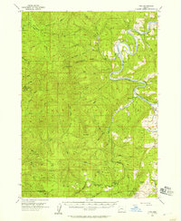
1955 · Tyee
USGS Topo · 1:62,500
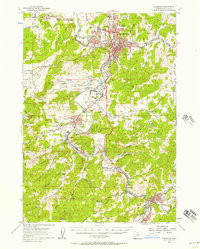
1955 · Roseburg
USGS Topo · 1:62,500

1958 · Roseburg
USGS Topo · 1:250,000

1959 · Roseburg
USGS Topo · 1:250,000
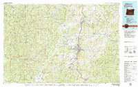
1979 · Roseburg
USGS Topo · 1:100,000