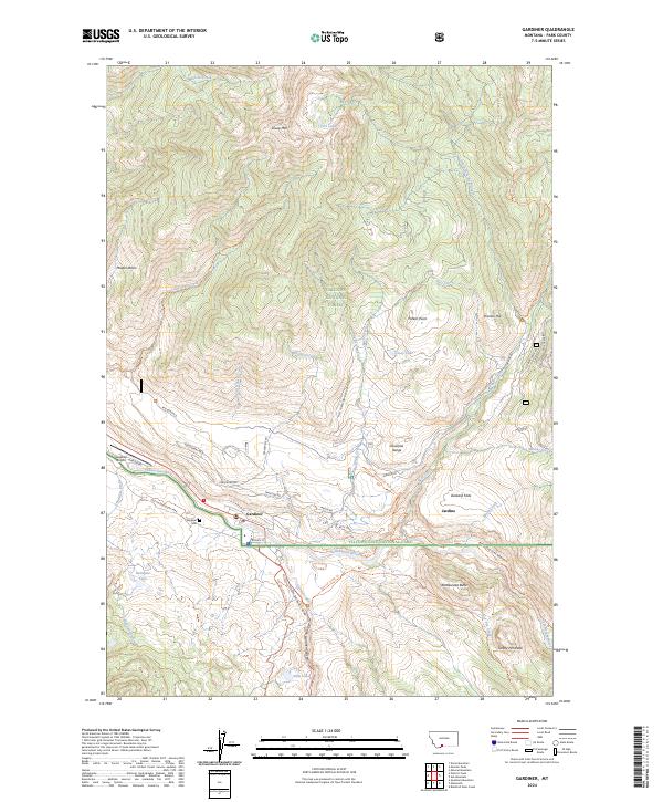
2024 Map of Gardiner
USGS Topo · Published 2024About this map
Gardiner serves as a critical northern gateway where the Yellowstone River and Gardner River converge at the boundary of Yellowstone National Park. This recent survey illustrates the modern layout of the townsite alongside the historic Old Yellowstone Trail and the North Entrance Road. To the northeast, the settlement of Jardine sits near the Absaroka Range, representing the area's legacy of mining and mountain habitation. The landscape is defined by the intersection of major federal lands, including the Gallatin National Forest and the Absaroka-Beartooth Wilderness. Geologic and topographic landmarks like Sheep Mtn and Gardner Canyon dominate the terrain, while local transit is anchored by the Gardiner Airport and the Jardine Rd corridor. This map provides a clear view of the contemporary interface between Montana's mountain communities and protected wilderness.
Find a feature on this map
69 named features on this map. Tap any name to fly to it.
Don’t see what you’re looking for? This feature index may not catch every label — zoom into the map to look around manually.
Map Details
Editions of this 2024 Gardiner Map
This is the sole edition of this map. No revisions or reprints were ever made.
Other maps of this area

1885 · Gallatin
USGS Topo · 1:125,000

1885 · Gallatin
USGS Topo · 1:125,000

1891 · Livingston
USGS Topo · 1:250,000

1893 · Livingston
USGS Topo · 1:250,000

1901 · Gallatin
USGS Topo · 1:125,000

1908 · Gallatin
USGS Topo · 1:125,000

1911 · Gallatin
USGS Topo · 1:125,000

1947 · Bozeman
USGS Topo · 1:250,000

1948 · Bozeman
USGS Topo · 1:250,000

1955 · Bozeman
USGS Topo · 1:250,000