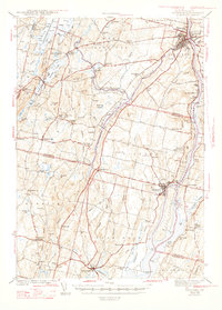
1943 Map of Gardiner
USGS Topo · Published 1947About this map
The Kennebec River corridor defines this 1941 landscape, serving as a primary artery for the Maine Central railroad and a cluster of riverfront settlements including Gardiner, South Gardiner, and Randolph. The map reveals a transition from the industrial and transport hubs of the river valley to the rural agricultural and educational networks of the interior. Numerous small schools such as Pine Tree Sch, Ferrin Sch, and Jaques Sch are scattered throughout the hills, reflecting a community structure built around localized education before later consolidation.
Find a feature on this map
87 named features on this map. Tap any name to fly to it.
Don’t see what you’re looking for? This feature index may not catch every label — zoom into the map to look around manually.
Map Details
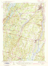
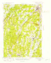
Editions of this 1943 Gardiner Map
4 editions found

Other maps of this area

1892 · Gardiner
USGS Topo · 1:62,500

1892 · Freeport
USGS Topo · 1:62,500

1892 · Augusta
USGS Topo · 1:62,500

1893 · Vassalboro
USGS Topo · 1:62,500

1893 · Wiscasset
USGS Topo · 1:62,500

1893 · Boothbay
USGS Topo · 1:62,500

1894 · Bath
USGS Topo · 1:62,500

1898 · Vassalboro
USGS Topo · 1:62,500

1908 · Lewiston
USGS Topo · 1:62,500

1910 · Livermore
USGS Topo · 1:62,500