
1943 Map of Gardiners Island East
USGS Topo · Published 1947About this map
Gardiners Island stands as a massive private estate and sanctuary within the waters of Block Island Sound, as depicted in this 1943 Army Map Service survey. The island’s interior is dominated by a central Airport and large freshwater bodies such as Great Pond and Tobaccolot Pond, bordered by terrain markers like Whale Hill and the Eastern Plain Pt. The landscape transitions from these secluded island shores to the mainland of East Hampton across Gardiners Bay. On the South Fork, the Long Island Railroad and Montauk Highway cut through the coastal dunes of Hither Hills. This era shows the preservation of the shore at Hither Hills State Park and the low-lying reaches of Napeague Harbor, where small settlements like Alberts Landing and Barnes Landing provide access to the bay.
Find a feature on this map
40 named features on this map. Tap any name to fly to it.
Don’t see what you’re looking for? This feature index may not catch every label — zoom into the map to look around manually.
Map Details
Editions of this 1943 Gardiners Island East Map
This is the sole edition of this map. No revisions or reprints were ever made.
Other maps of this area

1903 · Gardiners Island
USGS Topo · 1:62,500

1904 · Easthampton
USGS Topo · 1:62,500

1904 · Gardiners Island
USGS Topo · 1:62,500

1904 · Montauk
USGS Topo · 1:62,500

1921 · Gardiners Island
USGS Topo · 1:62,500

1921 · Easthampton
USGS Topo · 1:62,500
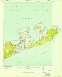
1942 · Montauk Point
USGS Topo · 1:24,000

1942 · Block Island
USGS Topo · 1:125,000

1944 · Gardiners Island West
USGS Topo · 1:24,000
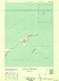
1947 · Plum Island
USGS Topo · 1:24,000
Featured Places
- East Hampton, NY
- Springs, East Hampton
- Montauk, East Hampton
- Amagansett, East Hampton
- Napeague, East Hampton