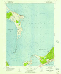
1956 Map of Gardiners Island East
USGS Topo · Published 1957About this map
Gardiners Island and the rugged coastal reaches of East Hampton define this mid-century maritime landscape. The island itself is a self-contained ecosystem of marshes and woods, featuring the Gardiners Island Lookout Tower and a small Landing Field near Giles Pond. To the south, the narrow neck of the Peconic peninsula connects to Hither Hills State Park, where the Long Island Railroad and the Old Montauk Highway skirt the shoreline of the Atlantic Ocean.
Find a feature on this map
46 named features on this map. Tap any name to fly to it.
Don’t see what you’re looking for? This feature index may not catch every label — zoom into the map to look around manually.
Map Details
Editions of this 1956 Gardiners Island East Map
2 editions found

Other maps of this area

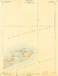
1903 · Gardiners Island
USGS Topo · 1:62,500
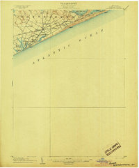
1904 · Easthampton
USGS Topo · 1:62,500

1904 · Gardiners Island
USGS Topo · 1:62,500
1904 · Montauk
USGS Topo · 1:62,500

1921 · Gardiners Island
USGS Topo · 1:62,500

1921 · Easthampton
USGS Topo · 1:62,500

1942 · Montauk Point
USGS Topo · 1:24,000

1942 · Block Island
USGS Topo · 1:125,000

1943 · Gardiners Island East
USGS Topo · 1:24,000
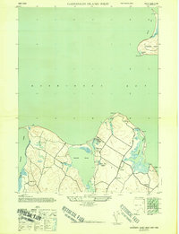
1944 · Gardiners Island West
USGS Topo · 1:24,000
Featured Places
- East Hampton, NY
- Springs, East Hampton
- Montauk, East Hampton
- Amagansett, East Hampton
- Napeague, East Hampton