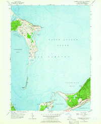
1956 Map of Gardiners Island East
USGS Topo · Published 1966About this map
Gardiners Island dominates this coastal landscape, separated from the tip of Long Island by the waters of Gardiners Bay. The island's isolated character is defined by landmarks like the Gardiners Island 2 Lookout Tower on Whale Hill and various freshwater features including Tobacco Lot Pond and Home Pond. To the south, the narrow strip of land known as Napeague serves as a bridge to the hills, featuring the Long Island Railroad corridor and the Montauk Highway snaking through the coastal dunes.
Find a feature on this map
44 named features on this map. Tap any name to fly to it.
Don’t see what you’re looking for? This feature index may not catch every label — zoom into the map to look around manually.
Map Details
Editions of this 1956 Gardiners Island East Map
2 editions found
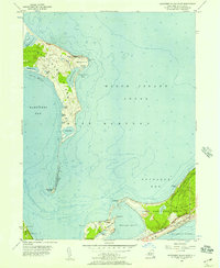
Other maps of this area

1903 · Gardiners Island
USGS Topo · 1:62,500

1904 · Easthampton
USGS Topo · 1:62,500

1904 · Gardiners Island
USGS Topo · 1:62,500

1904 · Montauk
USGS Topo · 1:62,500

1921 · Gardiners Island
USGS Topo · 1:62,500

1921 · Easthampton
USGS Topo · 1:62,500
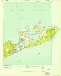
1942 · Montauk Point
USGS Topo · 1:24,000

1942 · Block Island
USGS Topo · 1:125,000

1943 · Gardiners Island East
USGS Topo · 1:24,000

1944 · Gardiners Island West
USGS Topo · 1:24,000
Featured Places
- East Hampton, NY
- Springs, East Hampton
- Montauk, East Hampton
- Amagansett, East Hampton
- Napeague, East Hampton