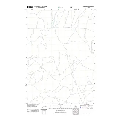
2011 Map of Gardner Lake
USGS Topo · Published 2011About this map
Gardner Lake and its surrounding drainage basin characterize this Clark County landscape at the start of the 2010s. The hydrography of the region is defined by the convergence of the West Fork and East Fork into the main branch of Rattlesnake Creek, while Corral Creek and Spring Creek further delineate the local topography. This area is sparsely settled, with the most significant infrastructure being the unpaved transit corridors of Idmon Rd and A-2 Clark County Rd, which cut through the high-elevation basin. The distribution of these roads and water features reflects the rural, open character of eastern Idaho, where land use is dictated by the natural flow of mountain streams and the historical routes established by early county roads.
Find a feature on this map
8 named features on this map. Tap any name to fly to it.
Don’t see what you’re looking for? This feature index may not catch every label — zoom into the map to look around manually.
Map Details
Editions of this 2011 Gardner Lake Map
This is the sole edition of this map. No revisions or reprints were ever made.
Other maps of this area

1955 · Dubois
USGS Topo · 1:250,000

1955 · Ashton
USGS Topo · 1:250,000

1958 · Dubois
USGS Topo · 1:250,000

1958 · Ashton
USGS Topo · 1:250,000

1960 · Ashton
USGS Topo · 1:250,000

1964 · Dubois NW
USGS Topo · 1:24,000

1964 · Dubois NE
USGS Topo · 1:24,000

1972 · Spencer South
USGS Topo · 1:24,000

1972 · Kilgore
USGS Topo · 1:24,000

1972 · Spencer North
USGS Topo · 1:24,000