
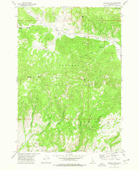
1972 Map of Kilgore
USGS Topo · Published 1976About this map
Camas Meadows dominates the eastern half of this 1970s survey, marking a significant transition between the high peaks of the Targhee National Forest and the lower drainage basins of Clark County. The settlement of Kilgore sits at the intersection of several water systems, including Camas Creek, Ching Creek, and Warm Creek. The landscape is defined by its water management and recreational use, evidenced by the East Camas Campground near Waters Flat and the presence of numerous springs like those feeding into Crooked Creek.
Find a feature on this map
34 named features on this map. Tap any name to fly to it.
Don’t see what you’re looking for? This feature index may not catch every label — zoom into the map to look around manually.
Map Details
Editions of this 1972 Kilgore Map
This is the sole edition of this map. No revisions or reprints were ever made.
Other maps of this area

1950 · Lower Red Rock Lake
USGS Topo · 1:62,500

1955 · Dubois
USGS Topo · 1:250,000

1955 · Ashton
USGS Topo · 1:250,000

1958 · Dubois
USGS Topo · 1:250,000

1958 · Ashton
USGS Topo · 1:250,000

1960 · Ashton
USGS Topo · 1:250,000

1968 · Big Table Mountain
USGS Topo · 1:24,000

1972 · Pine Butte
USGS Topo · 1:24,000

1972 · Antelope Valley
USGS Topo · 1:24,000
1972 · Lookout Point
USGS Topo · 1:24,000