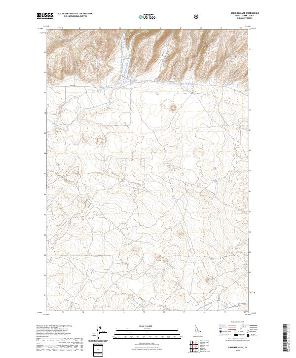
2023 Map of Gardner Lake
USGS Topo · Published 2023About this map
Gardner Lake sits at the heart of this high-elevation landscape in northeastern Idaho, where the drainages of the West Fork and East Fork Rattlesnake Creek converge. The terrain is defined by its watercourses and the sparse road network that navigates it, including Idmon Rd and Corral Creek Rd. The convergence of Spring Creek and Rattlesnake Creek illustrates the intricate hydrological patterns of this mountain region. This contemporary survey by the U.S. Geological Survey details the township and range boundaries of t12n r37e and t12n r38e, providing a precise look at the land's current use. Researchers can trace the path of A-2 Clark Rd as it skirts the southern reaches of this highland territory, offering insight into the connectivity of these remote basins.
Find a feature on this map
13 named features on this map. Tap any name to fly to it.
Don’t see what you’re looking for? This feature index may not catch every label — zoom into the map to look around manually.
Map Details
Editions of this 2023 Gardner Lake Map
This is the sole edition of this map. No revisions or reprints were ever made.
Other maps of this area

1955 · Dubois
USGS Topo · 1:250,000

1955 · Ashton
USGS Topo · 1:250,000

1958 · Dubois
USGS Topo · 1:250,000

1958 · Ashton
USGS Topo · 1:250,000

1960 · Ashton
USGS Topo · 1:250,000

1964 · Dubois NW
USGS Topo · 1:24,000

1964 · Dubois NE
USGS Topo · 1:24,000

1972 · Spencer South
USGS Topo · 1:24,000

1972 · Kilgore
USGS Topo · 1:24,000

1972 · Spencer North
USGS Topo · 1:24,000