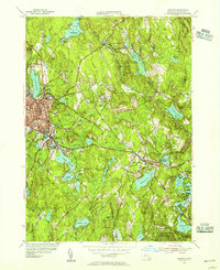
1954 Map of Gardner
USGS Topo · Published 1955About this map
Industrial and lakeside life in Worcester County centers on Gardner and its surrounding villages in this mid-1950s survey. The landscape is defined by its complex hydrology, where numerous bodies of water like Crystal Lake and Wrights Reservoir supported the area's manufacturing legacy. The rail infrastructure of the Boston and Maine corridor remains a dominant feature, linking the urban core at City Hall and Heywood Memorial Hospital to outlying settlements such as South Ashburnham and Whitmanville.
Find a feature on this map
63 named features on this map. Tap any name to fly to it.
Don’t see what you’re looking for? This feature index may not catch every label — zoom into the map to look around manually.
Map Details
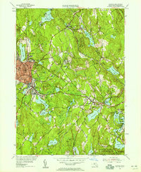
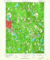
Editions of this 1954 Gardner Map
3 editions found
Other maps of this area

1885 · Worcester
USGS Topo · 1:62,500

1886 · Worcester
USGS Topo · 1:62,500

1887 · Winchendon
USGS Topo · 1:62,500

1887 · Barre
USGS Topo · 1:62,500

1887 · Fitchburg
USGS Topo · 1:62,500

1889 · Fitchburg
USGS Topo · 1:62,500

1889 · Barre
USGS Topo · 1:62,500

1890 · Winchendon
USGS Topo · 1:62,500

1892 · Worcester
USGS Topo · 1:62,500

1893 · Fitchburg
USGS Topo · 1:62,500