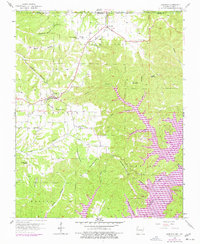
1958 Map of Garfield
USGS Topo · Published 1977About this map
Garfield and Gateway serve as the primary hubs in this Benton County landscape, where the St Louis San Francisco railroad cuts a diagonal path through the Ozark highlands. The mapping reflects a significant period of transition for the region, capturing the impact of the White River impoundment that created Beaver Lake. While high ground like Roller Ridge and Garfield Mountain remains largely unchanged, the rising waters of the lake have redefined the eastern and southern edges of the map, submerging historical river valley contours and creating new shoreline communities like Lost Bridge Village. Rural life is anchored by established landmarks such as Bayless Sch and several country churches, including New Prospect Ch and Walnut Hill Chapel. Along the northern border, the Mark Twain National Forest extends across the state line into Missouri, highlighting the interstate character of this rugged plateau terrain.
Find a feature on this map
52 named features on this map. Tap any name to fly to it.
Don’t see what you’re looking for? This feature index may not catch every label — zoom into the map to look around manually.
Map Details
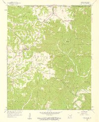
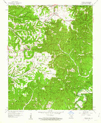
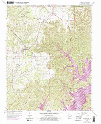
Editions of this 1958 Garfield Map
4 editions found
Other maps of this area

1899 · Fayetteville
USGS Topo · 1:125,000

1900 · Eureka Springs
USGS Topo · 1:125,000

1901 · Eureka Springs
USGS Topo · 1:125,000

1901 · Fayetteville
USGS Topo · 1:125,000

1904 · Fayetteville
USGS Topo · 1:125,000

1937 · Cassville
USGS Topo · 1:48,000

1941 · Rocky Comfort
USGS Topo · 1:62,500

1943 · Rocky Comfort
USGS Topo · 1:62,500

1944 · Cassville
USGS Topo · 1:62,500

1945 · Harrison
USGS Topo · 1:250,000