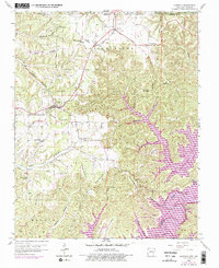
1958 Map of Garfield
USGS Topo · Published 1977About this map
The St Louis San Francisco RR cuts through the high ground of Roller Ridge, serving as a vital transport link for the rural communities of northern Benton County before the landscape transforms at the edge of the Ozarks. The 1976 photorevisions highlight the significant impact of the Beaver Lake impoundment on the White River, where rising waters reshaped the valleys of Fishtrap Hollow and Horn Branch. This inundation created new recreational focal points such as Lost Bridge Village and the Indian Creek Public Use Area. On higher ground, the map preserves the locations of foundational local institutions like New Prospect Ch, the Bayless Sch, and the Clantonville Cem, alongside several family-named peaks including Humphery Mountain and Whitney Mountain.
Find a feature on this map
46 named features on this map. Tap any name to fly to it.
Don’t see what you’re looking for? This feature index may not catch every label — zoom into the map to look around manually.
Map Details
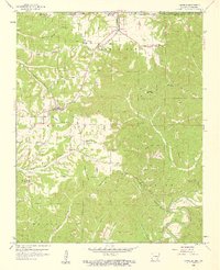
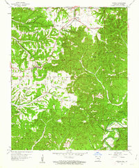
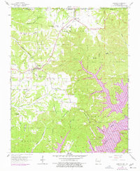
Editions of this 1958 Garfield Map
4 editions found
Other maps of this area

1899 · Fayetteville
USGS Topo · 1:125,000

1900 · Eureka Springs
USGS Topo · 1:125,000

1901 · Eureka Springs
USGS Topo · 1:125,000

1901 · Fayetteville
USGS Topo · 1:125,000

1904 · Fayetteville
USGS Topo · 1:125,000

1937 · Cassville
USGS Topo · 1:48,000

1941 · Rocky Comfort
USGS Topo · 1:62,500

1943 · Rocky Comfort
USGS Topo · 1:62,500

1944 · Cassville
USGS Topo · 1:62,500

1945 · Harrison
USGS Topo · 1:250,000