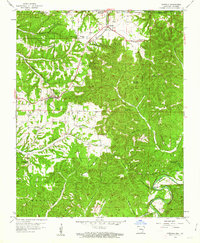
1958 Map of Garfield
USGS Topo · Published 1963About this map
The St Louis San Francisco railroad cuts a diagonal path through this Ozark terrain, connecting the small settlements of Garfield and Gateway just south of the Missouri-Arkansas border. This survey records a landscape of high ridges and deep hollows shortly before the completion of the Beaver Lake reservoir, showing the White River in its natural channel near the original Lost Bridge. Rural life is centered around community landmarks like New Prospect Ch, Ruddick Ch, and Bayless Sch, while the expansive Mark Twain National Forest dominates the northeastern corner. Significant topographical features like Garfield Mountain and Roller Ridge define the local geography, alongside signs of early industry such as a Quarry near Humphery Mountain.
Find a feature on this map
45 named features on this map. Tap any name to fly to it.
Don’t see what you’re looking for? This feature index may not catch every label — zoom into the map to look around manually.
Map Details
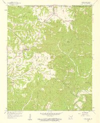
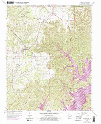
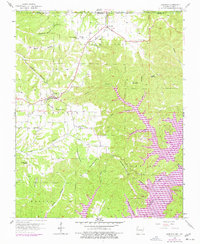
Editions of this 1958 Garfield Map
4 editions found
Other maps of this area

1899 · Fayetteville
USGS Topo · 1:125,000

1900 · Eureka Springs
USGS Topo · 1:125,000

1901 · Eureka Springs
USGS Topo · 1:125,000

1901 · Fayetteville
USGS Topo · 1:125,000

1904 · Fayetteville
USGS Topo · 1:125,000

1937 · Cassville
USGS Topo · 1:48,000

1941 · Rocky Comfort
USGS Topo · 1:62,500

1943 · Rocky Comfort
USGS Topo · 1:62,500

1944 · Cassville
USGS Topo · 1:62,500

1945 · Harrison
USGS Topo · 1:250,000