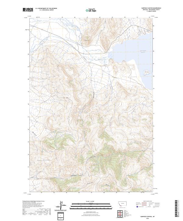
2024 Map of Garfield Canyon
USGS Topo · Published 2024About this map
Clark Canyon Reservoir dominates the northeastern corner of this Beaverhead County landscape, where the waters meet the drainage of Horse Prairie Creek and Medicine Lodge Creek. The map provides a detailed view of the high-altitude topography, centered on the dramatic descent of Garfield Canyon from the higher elevations of the Tendoy Mountains.
Find a feature on this map
17 named features on this map. Tap any name to fly to it.
Don’t see what you’re looking for? This feature index may not catch every label — zoom into the map to look around manually.
Map Details
Editions of this 2024 Garfield Canyon Map
This is the sole edition of this map. No revisions or reprints were ever made.
Other maps of this area

1893 · Dillon
USGS Topo · 1:250,000

1952 · Eli Spring
USGS Topo · 1:24,000

1952 · Dalys
USGS Topo · 1:24,000

1955 · Dubois
USGS Topo · 1:250,000

1955 · Dillon
USGS Topo · 1:250,000

1957 · Dillon
USGS Topo · 1:250,000

1958 · Dubois
USGS Topo · 1:250,000

1958 · Dillon
USGS Topo · 1:250,000

1959 · Grant
USGS Topo · 1:62,500

1962 · Dillon
USGS Topo · 1:250,000