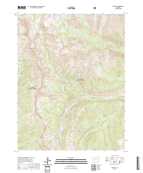
2022 Map of Garfield
USGS Topo · Published 2022About this map
The community of Garfield sits within the high mountain passes of the Sawatch Range, serving as a focal point in a landscape defined by the drainage of the S Arkansas River and its numerous tributaries. This survey documents a critical junction of Colorado’s recreational and historical geography, where the Continental Divide National Scenic Trl and the Colorado Trl intersect. The terrain is marked by significant hydrological features including the Boss Lake Reservoir and North Fork Reservoir, reflecting the managed water resources of the San Isabel National Forest. Local history is preserved at the Tomichi Cem and along the old route to Original Monarch Pass. High-altitude landmarks like Tabeguache Peak and Mt Aetna surround the valley, illustrating the challenging topography that shaped early transit and mining efforts in Chaffee County.
Find a feature on this map
67 named features on this map. Tap any name to fly to it.
Don’t see what you’re looking for? This feature index may not catch every label — zoom into the map to look around manually.
Map Details
Editions of this 2022 Garfield Map
This is the sole edition of this map. No revisions or reprints were ever made.
Other maps of this area

1940 · Garfield
USGS Topo · 1:62,500

1945 · Garfield
USGS Topo · 1:62,500

1956 · Poncha Springs
USGS Topo · 1:62,500

1956 · Montrose
USGS Topo · 1:250,000

1959 · Montrose
USGS Topo · 1:250,000

1959 · Bonanza
USGS Topo · 1:62,500

1960 · Montrose
USGS Topo · 1:250,000

1964 · Sargents
USGS Topo · 1:24,000

1967 · Pahlone Peak
USGS Topo · 1:24,000

1968 · Montrose
USGS Topo · 1:250,000