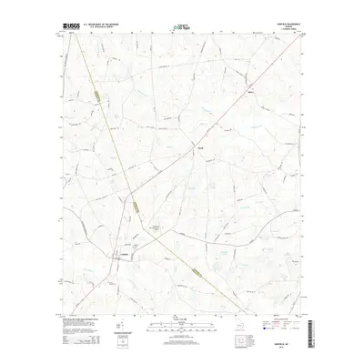
2014 Map of Garfield
USGS Topo · Published 2014About this map
The town of Garfield sits at the junction of several rural routes in eastern Georgia, marking a key settlement area where the Jenkins and Emanuel County line divides the landscape. This 2014 survey reveals a transition from concentrated residential blocks in the town center to a network of family-named roads and rural infrastructure. The mapping of the Hacienda de Gay Airstrip and numerous small water systems like Gay Lake and Fifteenmile Creek indicates a land use defined by private aviation and agricultural drainage.
Find a feature on this map
88 named features on this map. Tap any name to fly to it.
Don’t see what you’re looking for? This feature index may not catch every label — zoom into the map to look around manually.
Map Details
Editions of this 2014 Garfield Map
This is the sole edition of this map. No revisions or reprints were ever made.
Other maps of this area

1920 · Millen
USGS Topo · 1:62,500

1921 · Rocky Ford
USGS Topo · 1:62,500

1943 · Rocky Ford
USGS Topo · 1:62,500

1943 · Millen
USGS Topo · 1:62,500

1943 · Millen
USGS Topo · 1:125,000

1947 · Savannah
USGS Topo · 1:250,000

1948 · Savannah
USGS Topo · 1:250,000

1957 · Macon
USGS Topo · 1:250,000

1957 · Savannah
USGS Topo · 1:250,000

1958 · Macon
USGS Topo · 1:250,000