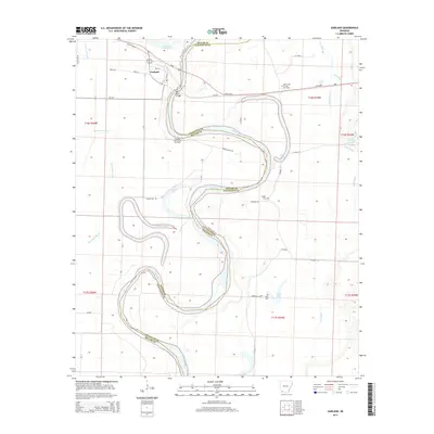
2014 Map of Garland
USGS Topo · Published 2014About this map
The Red River carves a deep, serpentine path through the borderlands of Miller and Lafayette counties, defining the character of this West Arkansas landscape. At a strategic crossing stands Garland, where the Red River Bridge connects local transport routes like Us-82 and Ar-134. The town is the primary settlement in an area dominated by oxbow lakes and meandering bayous, remnants of the river's shifting course over time. Notable water bodies including Candler Lake, Keller Lake, and Mays Lake pockmark the floodplain, illustrating the hydraulic history of the region.
Find a feature on this map
40 named features on this map. Tap any name to fly to it.
Don’t see what you’re looking for? This feature index may not catch every label — zoom into the map to look around manually.
Map Details
Editions of this 2014 Garland Map
This is the sole edition of this map. No revisions or reprints were ever made.
Other maps of this area

1952 · Garland
USGS Topo · 1:24,000

1952 · Fouke SE
USGS Topo · 1:24,000

1952 · Bradley NE
USGS Topo · 1:24,000

1952 · Old Town
USGS Topo · 1:24,000

1952 · Doddridge NE
USGS Topo · 1:24,000

1952 · Canfield
USGS Topo · 1:24,000

1952 · Lewisville
USGS Topo · 1:24,000

1952 · Fouke NE
USGS Topo · 1:24,000

1952 · Boyd Hill
USGS Topo · 1:24,000

1953 · El Dorado
USGS Topo · 1:250,000