2024 Map of Garland
USGS Topo · Published 2024About this map
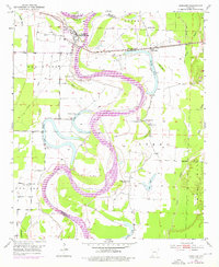
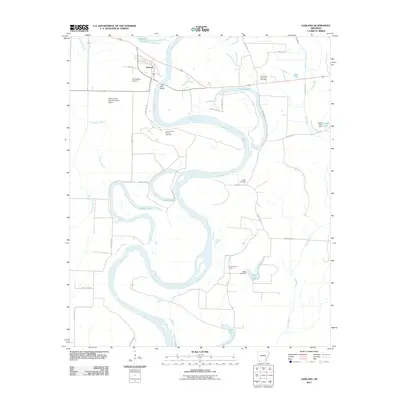
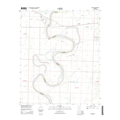
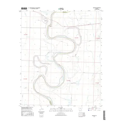
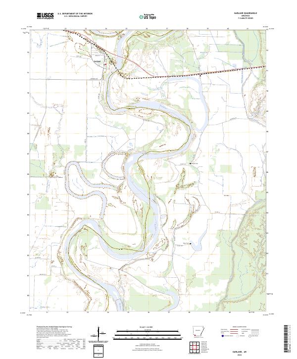
The Red River carves a complex, winding path through the borderlands of Miller and Lafayette counties, defining the geography of this alluvial region. The settlement of Garland is positioned near a tight oxbow, where local streets like Front St and Wall St meet the riverbank. This 2024 survey captures a landscape dominated by the hydrography of the Red River valley, featuring numerous water bodies such as Moccasin Bayou, Brushy Lake, and Bradley Lake that mark the remnants of former river channels. The rural character of the area is underscored by its local burial grounds, specifically Wright Cem and Mays Cem, located east of the main river channel. These sites, along with the network of county roads like Co Rd 381 and Hwy 11, provide essential reference points for researchers tracking the movement and settlement patterns of families in the southern Arkansas lowlands.
Find a feature on this map
34 named features on this map. Tap any name to fly to it.
Don’t see what you’re looking for? This feature index may not catch every label — zoom into the map to look around manually.
Map Details
Editions of this 2024 Garland Map
This is the sole edition of this map. No revisions or reprints were ever made.
Historical Maps of Garland Through Time
6 maps found