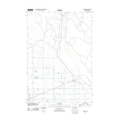
2012 Map of Garland
USGS Topo · Published 2012About this map
The irrigated basin of the Bighorn Basin comes into sharp focus through a dense network of water engineering features, including the Garland Canal, Frannie Canal, and Beaver Canal. These artificial waterways define the landscape near the small settlements of Garland and Mantua, supporting the agricultural productivity of the Powell Flats region. The mapping reveals a rigid grid of rural infrastructure, where numbered lanes and roads like Road 8 and Lane 7 intersect the historical path of the Jim Bridger Trl. Local landmarks such as Bakers Field Airport and Crown Hill Cemetery provide specific points of interest for genealogists and local historians. Natural drainage persists alongside the canals, with Little Polecat Creek and Bitter Creek meandering through the structured farm plots, illustrating the complex management of water in this arid Wyoming environment.
Find a feature on this map
51 named features on this map. Tap any name to fly to it.
Don’t see what you’re looking for? This feature index may not catch every label — zoom into the map to look around manually.
Map Details
Editions of this 2012 Garland Map
This is the sole edition of this map. No revisions or reprints were ever made.
Other maps of this area

1955 · Cody
USGS Topo · 1:250,000

1958 · Cody
USGS Topo · 1:250,000

1962 · Cody
USGS Topo · 1:250,000

1966 · Gilmore Hill NE
USGS Topo · 1:24,000

1966 · Frannie
USGS Topo · 1:24,000

1966 · Garland
USGS Topo · 1:24,000

1966 · Elk Basin
USGS Topo · 1:24,000

1966 · Deaver Reservoir
USGS Topo · 1:24,000

1966 · Elk Basin SE
USGS Topo · 1:24,000

1966 · Gilmore Hill NW
USGS Topo · 1:24,000