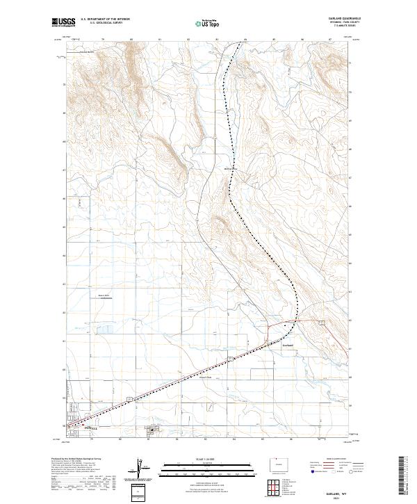
2021 Map of Garland
USGS Topo · Published 2021About this map
The high plains of Park County reveal an intricate network of irrigation vital to the region's agricultural development. The city of Powell anchors the southwest corner, situated near the Crown Hill Cem and bounded by the Garland Canal and Lateral U. This landscape is defined by its artificial waterways, including the Frannie Canal and Deaver Canal, which facilitate farming across the Powell Flats. To the northeast, the settlement of Garland sits near the Garland Cem and the confluence of several lateral ditches. The terrain is marked by the prominent Polecat Bench in the north and the natural drainage of Bitter Creek and Mantua Draw, illustrating the managed transition from arid benchland to productive valley fields.
Find a feature on this map
88 named features on this map. Tap any name to fly to it.
Don’t see what you’re looking for? This feature index may not catch every label — zoom into the map to look around manually.
Map Details
Editions of this 2021 Garland Map
This is the sole edition of this map. No revisions or reprints were ever made.
Other maps of this area

1955 · Cody
USGS Topo · 1:250,000

1958 · Cody
USGS Topo · 1:250,000

1962 · Cody
USGS Topo · 1:250,000

1966 · Gilmore Hill NE
USGS Topo · 1:24,000

1966 · Frannie
USGS Topo · 1:24,000

1966 · Garland
USGS Topo · 1:24,000

1966 · Elk Basin
USGS Topo · 1:24,000

1966 · Deaver Reservoir
USGS Topo · 1:24,000

1966 · Elk Basin SE
USGS Topo · 1:24,000

1966 · Gilmore Hill NW
USGS Topo · 1:24,000