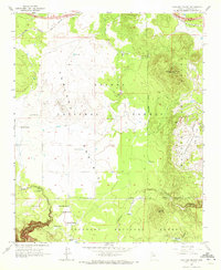
1963 Map of Garland Prairie
USGS Topo · Published 1972About this map
The Navajo Army Depot Military Reservation dominates the eastern landscape of this quadrangle, its restricted boundaries meeting the wooded slopes of the Coconino National Forest. To the west, the open expanse of Garland Prairie is marked by a complex network of watering points critical for ranching and forest management, including Garland Spring, Allan Tank, and Horse Lake. The northern edge is defined by the heavy infrastructure of the Atchison Topeka and Santa Fe railroad, which cuts through the high timberland.
Find a feature on this map
31 named features on this map. Tap any name to fly to it.
Don’t see what you’re looking for? This feature index may not catch every label — zoom into the map to look around manually.
Map Details
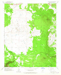
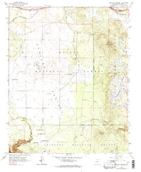
Editions of this 1963 Garland Prairie Map
3 editions found
Other maps of this area

1886 · San Francisco Mtns
USGS Topo · 1:250,000

1886 · Chino
USGS Topo · 1:250,000

1891 · San Francisco Mtns
USGS Topo · 1:250,000

1891 · Chino
USGS Topo · 1:250,000

1894 · San Francisco Mtns
USGS Topo · 1:250,000

1899 · San Francisco Mtns
USGS Topo · 1:250,000

1908 · Flagstaff
USGS Topo · 1:125,000

1912 · Flagstaff
USGS Topo · 1:125,000

1922 · Williams
USGS Topo · 1:125,000

1947 · Flagstaff
USGS Topo · 1:250,000