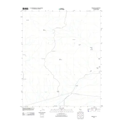
2012 Map of Garlock
USGS Topo · Published 2012About this map
Garlock and Old Garlock sit at the southern edge of this desert landscape, where the valley floor meets the rising slopes of the El Paso Mountains. This 2012 survey documents a network of remote outposts and historical mining camps scattered across the terrain, including Schmidt Camp, Gerbracht Camp, and Colorado Camp. The map illustrates the vital role of water in this arid environment, marking significant sites like Mesquite Springs, Poison Spring, and Mesa Spring.
Find a feature on this map
28 named features on this map. Tap any name to fly to it.
Don’t see what you’re looking for? This feature index may not catch every label — zoom into the map to look around manually.
Map Details
Editions of this 2012 Garlock Map
This is the sole edition of this map. No revisions or reprints were ever made.
Other maps of this area

1903 · Randsburg
USGS Topo · 1:62,500

1911 · Randsburg
USGS Topo · 1:62,500

1912 · Randsburg
USGS Topo · 1:62,500

1915 · Searles Lake
USGS Topo · 1:250,000

1943 · Inyokern
USGS Topo · 1:62,500

1943 · Saltdale
USGS Topo · 1:62,500

1947 · Trona
USGS Topo · 1:250,000

1948 · Trona
USGS Topo · 1:250,000

1953 · Ridgecrest
USGS Topo · 1:62,500

1953 · Trona
USGS Topo · 1:250,000