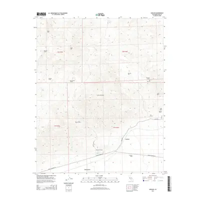
2015 Map of Garlock
USGS Topo · Published 2015About this map
Garlock and the nearby site of Old Garlock sit at the southern edge of the El Paso Mountains, where the desert terrain drops away toward the Fremont Valley. This landscape is defined by a dense network of arid drainages, including Bonanza Gulch, Last Chance Canyon, and Goler Gulch, which carve through the Black Hills and the southern reaches of the Mojave Desert. The presence of Mesquite Springs and Poison Spring highlights the critical importance of water sources in this dry corridor. The map reveals a land shaped by geological force and prospecting history, with the Redrock Randsburg Rd and Garlock Rd serving as the primary modern arteries through these ancient canyons. This survey documents the topographic complexity of areas like The Narrows and Mormon Flat, providing a clear view of the rugged environment that has long challenged desert travelers and miners.
Find a feature on this map
29 named features on this map. Tap any name to fly to it.
Don’t see what you’re looking for? This feature index may not catch every label — zoom into the map to look around manually.
Map Details
Editions of this 2015 Garlock Map
This is the sole edition of this map. No revisions or reprints were ever made.
Other maps of this area
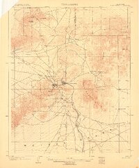
1903 · Randsburg
USGS Topo · 1:62,500
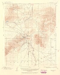
1911 · Randsburg
USGS Topo · 1:62,500
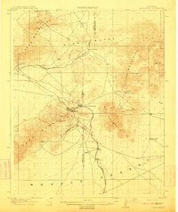
1912 · Randsburg
USGS Topo · 1:62,500
1915 · Searles Lake
USGS Topo · 1:250,000
1943 · Inyokern
USGS Topo · 1:62,500
1943 · Saltdale
USGS Topo · 1:62,500
1947 · Trona
USGS Topo · 1:250,000
1948 · Trona
USGS Topo · 1:250,000
1953 · Ridgecrest
USGS Topo · 1:62,500
1953 · Trona
USGS Topo · 1:250,000