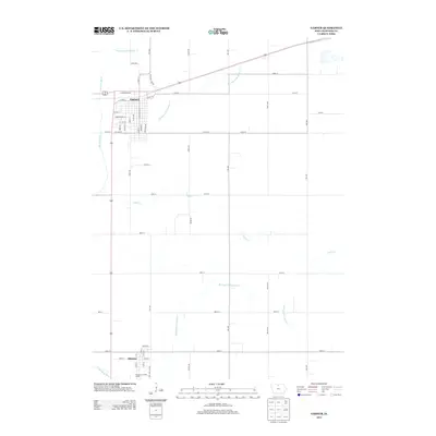
2013 Map of Garner
USGS Topo · Published 2013About this map
The Garner settlement and the nearby town of Klemme anchor this survey of Hancock County, Iowa, during the early 2010s. The landscape is defined by the highly engineered water management of the upper Midwest, featuring an extensive network of artificial channels including Drainage Ditch Number 81, Drainage Ditch Number 13, and Drainage Ditch Number 9. These features, alongside Galls Cr, emphasize the transformation of the prairie into productive agricultural land.
Find a feature on this map
49 named features on this map. Tap any name to fly to it.
Don’t see what you’re looking for? This feature index may not catch every label — zoom into the map to look around manually.
Map Details
Editions of this 2013 Garner Map
This is the sole edition of this map. No revisions or reprints were ever made.
Other maps of this area

1954 · Mason City
USGS Topo · 1:250,000

1954 · Waterloo
USGS Topo · 1:250,000

1955 · Waterloo
USGS Topo · 1:250,000

1957 · Mason City
USGS Topo · 1:250,000

1958 · Mason City
USGS Topo · 1:250,000

1972 · Clear Lake West
USGS Topo · 1:24,000

1972 · Thornton
USGS Topo · 1:24,000

1972 · Hayfield
USGS Topo · 1:24,000

1972 · Olaf
USGS Topo · 1:24,000
1972 · Ventura Heights
USGS Topo · 1:24,000