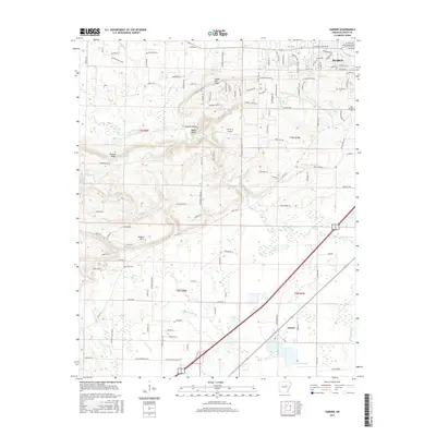
2017 Map of Garner
USGS Topo · Published 2017About this map
Searcy and Garner anchor this survey of White County, Arkansas, showing the suburban expansion and agricultural character of the region. The landscape is defined by the winding course of Bayou Des Arc and its complex network of tributaries, including Cane Cr and Rodman Br. The terrain transitions from the low-lying wetlands of McKown Slough and Swan Ponds in the south to elevated landmarks like Honey Hill Ridge and Rodman Hills further north. This period captures a mix of traditional rural life and modern infrastructure, evidenced by the proximity of established sites like Gum Springs Cem and Weir Cem to the Fly "N" K Airport. The map provides detailed tracking for genealogists and local historians interested in the development of neighborhood clusters such as Countryside Acres and the intricate naming of local waterways like Slaton Br and Lawrence Br.
Find a feature on this map
134 named features on this map. Tap any name to fly to it.
Don’t see what you’re looking for? This feature index may not catch every label — zoom into the map to look around manually.
Map Details
Editions of this 2017 Garner Map
This is the sole edition of this map. No revisions or reprints were ever made.
Other maps of this area
1932 · Kensett
USGS Topo · 1:62,500
1935 · Kensett
USGS Topo · 1:62,500
1935 · Bald Knob
USGS Topo · 1:62,500

1953 · Memphis
USGS Topo · 1:250,000
1956 · Memphis
USGS Topo · 1:250,000
1962 · Letona
USGS Topo · 1:24,000
1963 · Garner
USGS Topo · 1:24,000
1963 · Floyd
USGS Topo · 1:24,000
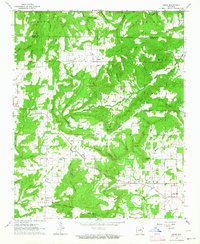
1963 · Sidon
USGS Topo · 1:24,000
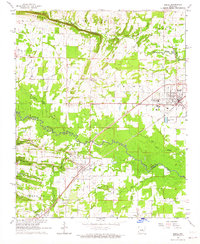
1963 · Beebe
USGS Topo · 1:24,000