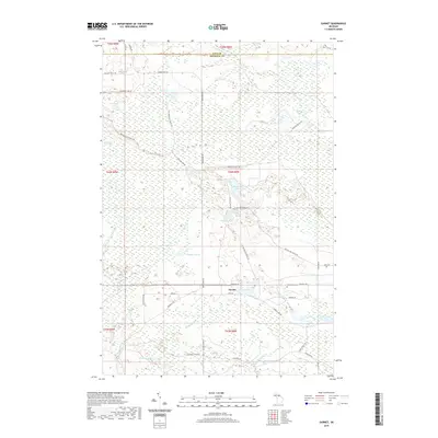
2019 Map of Garnet
USGS Topo · Published 2019About this map
Garnet and its surrounding wetlands occupy a low-lying landscape in Mackinac County, defined by a complex drainage system between the E Br Sage River and the Black River. The settlement remains a small pocket of activity within a geography dominated by extensive marshes and numerous water bodies, including the nearly twin basins of Big Dollar Lake and Little Dollar Lake. To the east, the Maplewood Cem serves as a local landmark near the junction of Hiawatha Trl and Airport Rd. The map reveals a network of logging and service roads, such as Giddings Truck Trl and Dollar Lake Truck Trl, which navigate through Kings Marsh and around scattered basins like Crawfin Lake and Brennan Lake. This 2019 survey documents a terrain where seasonal water levels and peatlands like the Cranberry Lake Bog dictate the placement of transportation routes and human footprint.
Find a feature on this map
48 named features on this map. Tap any name to fly to it.
Don’t see what you’re looking for? This feature index may not catch every label — zoom into the map to look around manually.
Map Details
Editions of this 2019 Garnet Map
This is the sole edition of this map. No revisions or reprints were ever made.
Other maps of this area
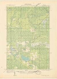
1931 · Epoufette NW
USGS Topo · 1:31,680
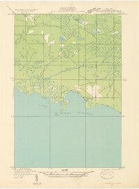
1931 · Epoufette SW
USGS Topo · 1:31,680
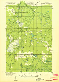
1931 · Gilchrist NE
USGS Topo · 1:31,680
1931 · Gilchrist NW
USGS Topo · 1:31,680
1951 · Hulbert
USGS Topo · 1:24,000
1951 · Eckerman
USGS Topo · 1:62,500
1954 · Sault Sainte Marie
USGS Topo · 1:250,000
1956 · Sault Sainte Marie
USGS Topo · 1:250,000
1957 · Sault Sainte Marie
USGS Topo · 1:250,000
1958 · Sault Sainte Marie
USGS Topo · 1:250,000