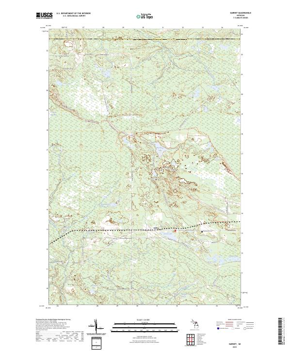
2023 Map of Garnet
USGS Topo · Published 2023About this map
Garnet serves as the focal point of this landscape, situated near the intersection of several notable truck trails and recreational routes. The surrounding Upper Peninsula terrain is defined by an intricate network of waterways and wetlands, including Big Dollar Lake, Little Dollar Lake, and the expansive King's Marsh. The hydrology is complex, with the East Branch Black River and Silver Creek winding through the southern half, while the East Branch Sage River drains the northern reaches.
Find a feature on this map
49 named features on this map. Tap any name to fly to it.
Don’t see what you’re looking for? This feature index may not catch every label — zoom into the map to look around manually.
Map Details
Editions of this 2023 Garnet Map
This is the sole edition of this map. No revisions or reprints were ever made.
Other maps of this area

1931 · Epoufette NW
USGS Topo · 1:31,680

1931 · Epoufette SW
USGS Topo · 1:31,680

1931 · Gilchrist NE
USGS Topo · 1:31,680

1931 · Gilchrist NW
USGS Topo · 1:31,680

1951 · Hulbert
USGS Topo · 1:24,000

1951 · Eckerman
USGS Topo · 1:62,500

1954 · Sault Sainte Marie
USGS Topo · 1:250,000

1956 · Sault Sainte Marie
USGS Topo · 1:250,000

1957 · Sault Sainte Marie
USGS Topo · 1:250,000

1958 · Sault Sainte Marie
USGS Topo · 1:250,000