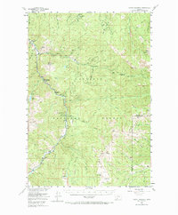
1955 Map of Garnet Mountain
USGS Topo · Published 1987About this map
Karst Ranch and its accompanying Karst Power Plant anchor this mid-century look at the Gallatin Canyon, where the Gallatin River carves through the heart of the Gallatin National Forest. The landscape is a mix of early recreation and mountain industry, evidenced by Cascade Creek Summer Homes and the Shady Rest Camp contrasted with the Blanchard Sawmill and the high-elevation Asbestos Mine. Resource management is visible through the presence of the Squaw Creek Ranger Sta and the remote Butte Meadows Ranger Sta, connected by a network of primitive routes like the Telephone Ridge Trail. Geographic landmarks such as Storm Castle and Garnet Mountain, the latter featuring a Lookout Tower, define the skyline above the complex drainage systems of Squaw Creek and Portal Creek.
Find a feature on this map
54 named features on this map. Tap any name to fly to it.
Don’t see what you’re looking for? This feature index may not catch every label — zoom into the map to look around manually.
Map Details
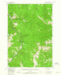
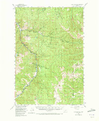
Editions of this 1955 Garnet Mountain Map
4 editions found

Other maps of this area

1888 · Three Forks
USGS Topo · 1:250,000

1891 · Livingston
USGS Topo · 1:250,000

1893 · Livingston
USGS Topo · 1:250,000

1894 · Three Forks
USGS Topo · 1:250,000

1895 · Three Forks
USGS Topo · 1:250,000

1947 · Bozeman
USGS Topo · 1:250,000

1948 · Bozeman
USGS Topo · 1:250,000

1949 · Anceney
USGS Topo · 1:62,500

1950 · Spanish Peaks
USGS Topo · 1:62,500

1950 · Sphinx Mountain
USGS Topo · 1:62,500