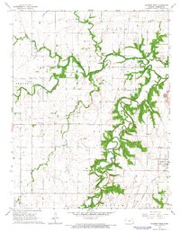
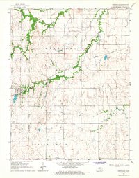
1966 Map of Garnett West
USGS Topo · Published 1967About this map
Pottawatomie Creek and its winding tributaries, including Cedar Creek and Sac Creek, carve through the eastern Kansas prairie, defining the rural character of Anderson County during the mid-1960s. The settlement of Garnett anchors the southeastern corner, where the Missouri Pacific railroad lines converge. The landscape is a mix of agricultural fields and active extraction, evidenced by scattered Oil Wells, several Quarries, and a series of high-pressure pipelines traversing the townships of Jackson and Washington.
Find a feature on this map
26 named features on this map. Tap any name to fly to it.
Don’t see what you’re looking for? This feature index may not catch every label — zoom into the map to look around manually.
Map Details
Editions of this 1966 Garnett West Map
2 editions found
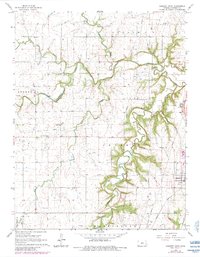
Other maps of this area

1885 · Garnett
USGS Topo · 1:125,000

1894 · Garnett
USGS Topo · 1:125,000

1947 · Lawrence
USGS Topo · 1:250,000

1950 · Lawrence
USGS Topo · 1:250,000

1956 · Williamsburg
USGS Topo · 1:24,000

1956 · Lawrence
USGS Topo · 1:250,000

1961 · Lawrence
USGS Topo · 1:250,000
1965 · Richmond
USGS Topo · 1:24,000
1966 · Bush City
USGS Topo · 1:24,000
1966 · Westphalia
USGS Topo · 1:24,000