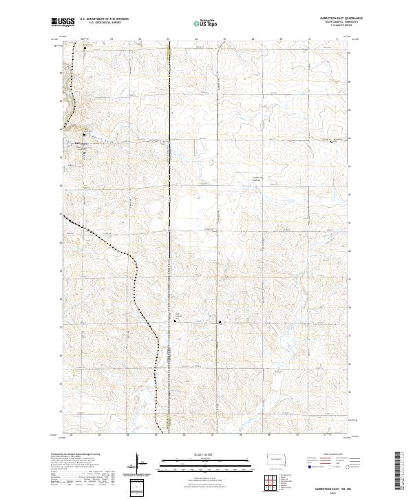
2021 Map of Garretson East
USGS Topo · Published 2021About this map
Garretson anchors the western edge of this survey, situated where Split Rock Creek winds near the dramatic terrain of Devils Gulch. This 2021 landscape reflects a deeply established agricultural and spiritual community straddling the South Dakota and Minnesota border. The map is particularly notable for its concentration of heritage sites, including the Zion Lutheran Church and its accompanying Zion Lutheran Church Cem, along with the Saint Rose Cem and Sherman Cem.
Find a feature on this map
52 named features on this map. Tap any name to fly to it.
Don’t see what you’re looking for? This feature index may not catch every label — zoom into the map to look around manually.
Map Details
Editions of this 2021 Garretson East Map
This is the sole edition of this map. No revisions or reprints were ever made.
Other maps of this area

1955 · Sioux Falls
USGS Topo · 1:250,000

1958 · Sioux Falls
USGS Topo · 1:250,000

1962 · Brandon
USGS Topo · 1:24,000

1962 · Garretson West
USGS Topo · 1:24,000

1967 · Valley Springs
USGS Topo · 1:24,000

1967 · Garretson East
USGS Topo · 1:24,000

1967 · Hills
USGS Topo · 1:24,000

1967 · Jasper SE
USGS Topo · 1:24,000

1967 · Hills NE
USGS Topo · 1:24,000

1967 · Jasper
USGS Topo · 1:24,000
Featured Places
- Garretson, SD
- Palisade Township, SD
- Red Rock Township, SD
- Springwater Township, MN
- Beaver Creek Township, MN