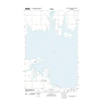
2011 Map of Garrison Dam North
USGS Topo · Published 2011About this map
Lake Sakakawea dominates this landscape, its expansive shoreline defining the geography north of the Missouri River. The small community of Pick City is the primary settlement on this sheet, situated just south of the sprawling reservoir. The map documents a significant recreation and youth organization presence along the water, including the Fort Stevenson State Park, the North West North Dakota Girl Scout Camp, and Camp Dominic Savio. The local road network, featuring names like Arikara Ln, Sioux Dr, and Apache Loop, reflects the area's cultural history. This 2011 survey illustrates the modern configuration of the lake's northern reaches and the established residential patterns near Estates Rd.
Find a feature on this map
22 named features on this map. Tap any name to fly to it.
Don’t see what you’re looking for? This feature index may not catch every label — zoom into the map to look around manually.
Map Details
Editions of this 2011 Garrison Dam North Map
This is the sole edition of this map. No revisions or reprints were ever made.
Other maps of this area

1922 · Garrison
USGS Topo · 1:62,500

1948 · Stanton
USGS Topo · 1:62,500

1949 · Stanton
USGS Topo · 1:62,500

1954 · McClusky
USGS Topo · 1:250,000

1956 · Emmet NE
USGS Topo · 1:24,000

1958 · McClusky
USGS Topo · 1:250,000

1967 · Emmet SE
USGS Topo · 1:24,000

1969 · Hazen NE
USGS Topo · 1:24,000
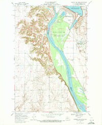
1969 · Garrison Dam South
USGS Topo · 1:24,000
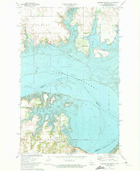
1972 · Garrison Dam North
USGS Topo · 1:24,000