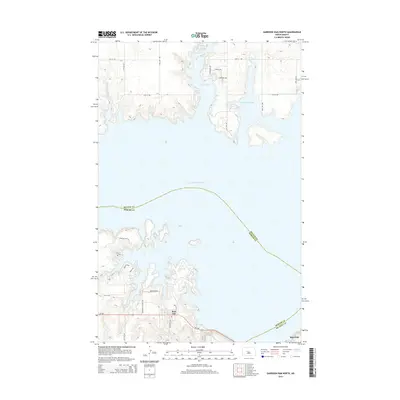
2014 Map of Garrison Dam North
USGS Topo · Published 2014About this map
Lake Sakakawea dominates this landscape along the border of McLean and Mercer Counties, illustrating the modern geography shaped by the Missouri River’s massive impoundment. The settlement of Pick City sits prominently on the southern shore, characterized by a grid of residential streets like Apache Loop and Sioux Dr that serve this recreation-focused community. Further east, the town of Riverdale occupies the heights near the dam's edge, reflecting its origins as a planned community for the project's workforce.
Find a feature on this map
24 named features on this map. Tap any name to fly to it.
Don’t see what you’re looking for? This feature index may not catch every label — zoom into the map to look around manually.
Map Details
Editions of this 2014 Garrison Dam North Map
This is the sole edition of this map. No revisions or reprints were ever made.
Other maps of this area

1922 · Garrison
USGS Topo · 1:62,500

1948 · Stanton
USGS Topo · 1:62,500

1949 · Stanton
USGS Topo · 1:62,500

1954 · McClusky
USGS Topo · 1:250,000

1956 · Emmet NE
USGS Topo · 1:24,000

1958 · McClusky
USGS Topo · 1:250,000

1967 · Emmet SE
USGS Topo · 1:24,000

1969 · Hazen NE
USGS Topo · 1:24,000
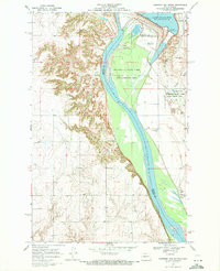
1969 · Garrison Dam South
USGS Topo · 1:24,000
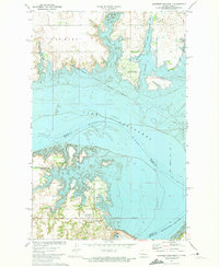
1972 · Garrison Dam North
USGS Topo · 1:24,000