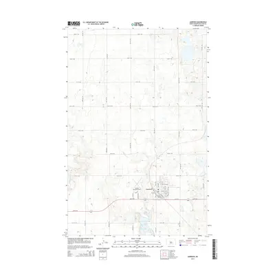
2014 Map of Garrison
USGS Topo · Published 2014About this map
Garrison serves as the focal point of this McLean County survey, situated just north of the expansive Lake Sakakawea shoreline. The town's grid is defined by a blend of functional transit routes and local history, including Railroad St N and Railroad St S, which suggest the path of former rail lines through the community. On the western edge of the settlement, the Garrison Municipal Airport and its accompanying roads like Bonanza Way and Aero Dr indicate a modern infrastructure built around the town's role as a regional hub.
Find a feature on this map
43 named features on this map. Tap any name to fly to it.
Don’t see what you’re looking for? This feature index may not catch every label — zoom into the map to look around manually.
Map Details
Editions of this 2014 Garrison Map
This is the sole edition of this map. No revisions or reprints were ever made.
Other maps of this area
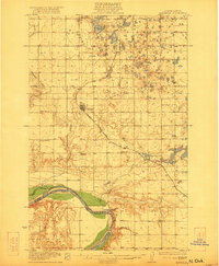
1922 · Garrison
USGS Topo · 1:62,500
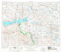
1954 · McClusky
USGS Topo · 1:250,000
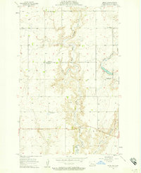
1956 · Emmet NE
USGS Topo · 1:24,000
1956 · Douglas West
USGS Topo · 1:24,000
1958 · McClusky
USGS Topo · 1:250,000
1967 · Emmet SE
USGS Topo · 1:24,000
1972 · Garrison Dam North
USGS Topo · 1:24,000
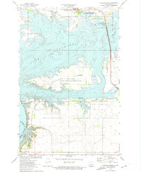
1972 · Riverdale North
USGS Topo · 1:24,000
1974 · Garrison NW
USGS Topo · 1:24,000
1974 · Garrison NE
USGS Topo · 1:24,000