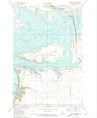
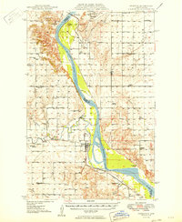
1972 Map of Riverdale North
USGS Topo · Published 1974About this map
The massive impoundments of the Missouri River dominate this landscape near the Old Ft Stevenson Mil Res Bdy, where the waters of Lake Sakakawea and Lake Audubon are separated by a narrow strip of land. This high-altitude perspective from the early 1970s shows the sophisticated water management infrastructure of the era, including the Snake Creek Pumping Station and a system of canals and dikes. Much of the shoreline and the large Mallard Island are dedicated to conservation, mapped as the Wolf Creek State Game Management Area and the Audubon National Wildlife Refuge.
Find a feature on this map
27 named features on this map. Tap any name to fly to it.
Don’t see what you’re looking for? This feature index may not catch every label — zoom into the map to look around manually.
Map Details
Editions of this 1972 Riverdale North Map
2 editions found

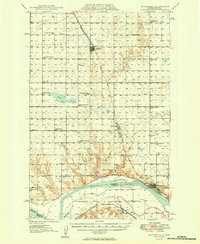
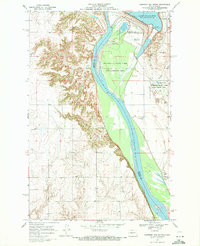
Other maps of this area
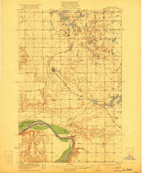
1922 · Garrison
USGS Topo · 1:62,500
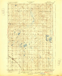
1929 · Coleharbor
USGS Topo · 1:62,500
1948 · Stanton
USGS Topo · 1:62,500
1949 · Stanton
USGS Topo · 1:62,500
1949 · Washburn
USGS Topo · 1:62,500

1954 · McClusky
USGS Topo · 1:250,000

1958 · McClusky
USGS Topo · 1:250,000
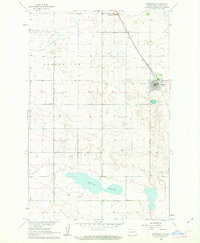
1961 · Underwood
USGS Topo · 1:24,000
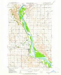
1969 · Garrison Dam South
USGS Topo · 1:24,000

1972 · Garrison Dam North
USGS Topo · 1:24,000