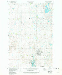
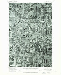
1981 Map of Garrison
USGS Topo · Published 1982About this map
Garrison serves as the primary hub of this North Dakota landscape, situated just north of the expansive Lake Sakakawea and Garrison Bay. The town's layout is well-defined, featuring the High School, the Municipal Airport, and a Trailer Park, while the Soo Line railroad cuts across the prairie to the east. The surrounding rural areas in McLean County are marked by several local burial grounds, including St Nicholas Cem, Memorial Cem, and St Pauls Cem, providing valuable points of reference for genealogists.
Find a feature on this map
24 named features on this map. Tap any name to fly to it.
Don’t see what you’re looking for? This feature index may not catch every label — zoom into the map to look around manually.
Map Details
Editions of this 1981 Garrison Map
This is the sole edition of this map. No revisions or reprints were ever made.
Other maps of this area

1922 · Garrison
USGS Topo · 1:62,500

1954 · McClusky
USGS Topo · 1:250,000

1956 · Emmet NE
USGS Topo · 1:24,000

1956 · Douglas West
USGS Topo · 1:24,000

1958 · McClusky
USGS Topo · 1:250,000

1967 · Emmet SE
USGS Topo · 1:24,000
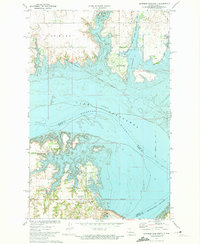
1972 · Garrison Dam North
USGS Topo · 1:24,000
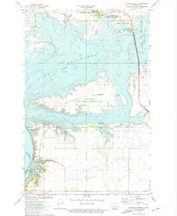
1972 · Riverdale North
USGS Topo · 1:24,000
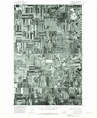
1974 · Garrison NW
USGS Topo · 1:24,000
1974 · Garrison NE
USGS Topo · 1:24,000