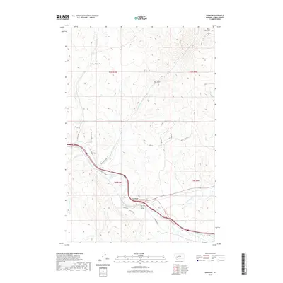
2020 Map of Garrison
USGS Topo · Published 2020About this map
The confluence of the Little Blackfoot River and the Clark Fork defines the landscape surrounding Garrison, Montana. This modern survey illustrates the enduring importance of this river junction, where the Clark Fork River Bridge serves as a vital crossing point for transport networks following the natural corridors of the valley. To the north, the terrain rises toward White Rocks Mtn and the drainage of Brock Creek, where a small settlement sharing the creek's name is situated among the foothills. The map reveals a mix of old ranching roads and modern residential lanes, including Palin Ranchette Ln and Lariat Loop, which wind through the gulches and foothills. The presence of numerous watercourses like Warm Springs Cr and Independence Cr suggests the area’s historical reliance on these drainages for irrigation and travel throughout Powell County.
Find a feature on this map
32 named features on this map. Tap any name to fly to it.
Don’t see what you’re looking for? This feature index may not catch every label — zoom into the map to look around manually.
Map Details
Editions of this 2020 Garrison Map
This is the sole edition of this map. No revisions or reprints were ever made.
Other maps of this area

1889 · Helena
USGS Topo · 1:250,000

1893 · Helena
USGS Topo · 1:250,000

1899 · Helena
USGS Topo · 1:250,000

1903 · Helena
USGS Topo · 1:250,000

1947 · Butte
USGS Topo · 1:250,000

1958 · Butte
USGS Topo · 1:250,000

1958 · Avon
USGS Topo · 1:62,500

1958 · Garrison
USGS Topo · 1:62,500

1959 · Deer Lodge
USGS Topo · 1:62,500

1960 · Butte
USGS Topo · 1:250,000