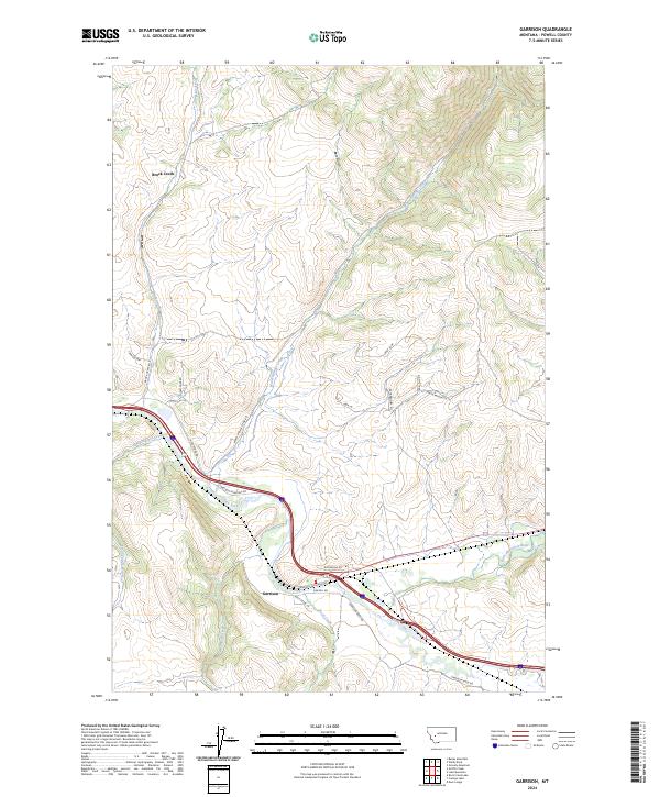
2024 Map of Garrison
USGS Topo · Published 2024About this map
The confluence of the Little Blackfoot River and the Clark Fork dominates this portion of Powell County, anchoring the settlement of Garrison. This area serves as a significant drainage basin where multiple tributaries, including Willow Creek and Rock Creek, join the larger river systems. The landscape transitions from the river valley floors to higher elevations marked by features like Bear Gulch and the winding course of Warm Springs Creek to the north.
Find a feature on this map
30 named features on this map. Tap any name to fly to it.
Don’t see what you’re looking for? This feature index may not catch every label — zoom into the map to look around manually.
Map Details
Editions of this 2024 Garrison Map
This is the sole edition of this map. No revisions or reprints were ever made.
Other maps of this area

1889 · Helena
USGS Topo · 1:250,000

1893 · Helena
USGS Topo · 1:250,000

1899 · Helena
USGS Topo · 1:250,000

1903 · Helena
USGS Topo · 1:250,000

1947 · Butte
USGS Topo · 1:250,000

1958 · Butte
USGS Topo · 1:250,000

1958 · Avon
USGS Topo · 1:62,500

1958 · Garrison
USGS Topo · 1:62,500

1959 · Deer Lodge
USGS Topo · 1:62,500

1960 · Butte
USGS Topo · 1:250,000