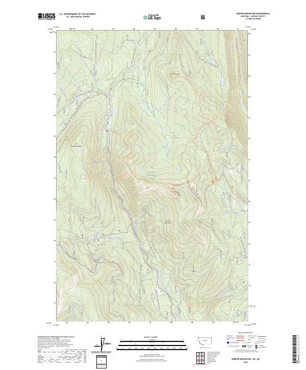
2024 Map of Garver Mountain
USGS Topo · Published 2024About this map
The Purcell Mountains define the high-altitude landscape of this northern Lincoln County region within the Kootenai National Forest. The map detail reveals a complex network of forest development roads and primitive trails used for resource management and recreation. Significant peaks such as Garver Mtn and Mt Obermayer dominate the terrain, while the Pacific Northwest National Scenic Trail traverses the eastern slopes. A series of snowmobile trails, including the Pete Creek Snowmobile Trail and the Upper Whitetail Snowmobile Trail, intersect with logging roads, illustrating the area's contemporary utility for winter transit. Water features like Pete Creek Meadows and the West Fork Yaak River provide the primary drainage through these steep, forested valleys.
Find a feature on this map
41 named features on this map. Tap any name to fly to it.
Don’t see what you’re looking for? This feature index may not catch every label — zoom into the map to look around manually.
Map Details
Editions of this 2024 Garver Mountain Map
This is the sole edition of this map. No revisions or reprints were ever made.
Other maps of this area

1957 · Kalispell
USGS Topo · 1:250,000

1960 · Kalispell
USGS Topo · 1:250,000

1961 · Kalispell
USGS Topo · 1:250,000

1963 · Yaak
USGS Topo · 1:24,000

1963 · Mount Baldy
USGS Topo · 1:24,000

1963 · Northwest Peak
USGS Topo · 1:24,000

1963 · Garver Mountain
USGS Topo · 1:24,000

1963 · Clark Mountain
USGS Topo · 1:24,000

1963 · Bonnet Top
USGS Topo · 1:24,000

1979 · Yaak River
USGS Topo · 1:100,000