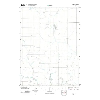
2010 Map of Garwin
USGS Topo · Published 2010About this map
Garwin serves as the central hub of this eastern Iowa landscape, situated where the Deer Creek valley meets a network of established section roads. The town's civic core is anchored by the Garwin Post Office, with the Garwin Union Cemetery positioned just to the northeast. To the south, the terrain descends toward the Iowa River, which carves a winding path near the settlement of Butlerville. This 2010 survey illustrates a region where water management and local heritage are deeply intertwined, evidenced by recreational sites like Union Grove Lake and Sportsman Lake, the latter located near Pilgrim Heights Camp.
Find a feature on this map
32 named features on this map. Tap any name to fly to it.
Don’t see what you’re looking for? This feature index may not catch every label — zoom into the map to look around manually.
Map Details
Editions of this 2010 Garwin Map
This is the sole edition of this map. No revisions or reprints were ever made.
Other maps of this area

1954 · Waterloo
USGS Topo · 1:250,000

1954 · Des Moines
USGS Topo · 1:250,000

1955 · Waterloo
USGS Topo · 1:250,000

1956 · Des Moines
USGS Topo · 1:250,000

1957 · Des Moines
USGS Topo · 1:250,000

1960 · Marshalltown
USGS Topo · 1:62,500

1960 · Le Grand
USGS Topo · 1:24,000

1960 · Conrad East
USGS Topo · 1:24,000

1969 · Des Moines
USGS Topo · 1:250,000

1971 · Gladbrook NE
USGS Topo · 1:24,000