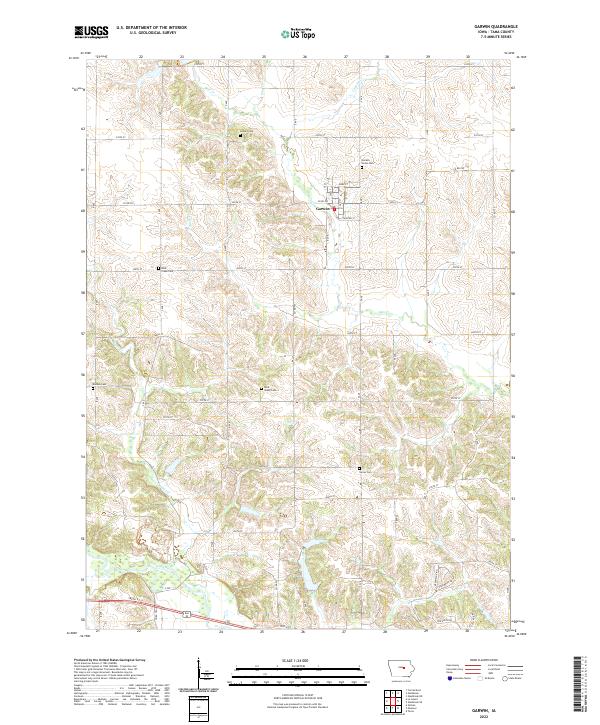
2022 Map of Garwin
USGS Topo · Published 2022About this map
The town of Garwin serves as the central hub for this rural landscape in Tama County, where a grid of township roads organizes the fertile agricultural terrain. The settlement is anchored by local landmarks like the Garwin Union Cem and streets such as Rider St and Carlton St. The topography is defined by the winding course of the Iowa River in the south and a network of drainages including Sugar Creek and Deer Creek. Genealogists will find particular value in the numerous family and community burial grounds documented across the townships, such as Rock Creek Cem, Dodson Cem, and Rock Valley Cem. These sites, along with the various creeks like Prairie Creek and Crystal Creek, illustrate the historical development and natural boundaries that have shaped local farming life over generations.
Find a feature on this map
37 named features on this map. Tap any name to fly to it.
Don’t see what you’re looking for? This feature index may not catch every label — zoom into the map to look around manually.
Map Details
Editions of this 2022 Garwin Map
This is the sole edition of this map. No revisions or reprints were ever made.
Other maps of this area

1954 · Waterloo
USGS Topo · 1:250,000

1954 · Des Moines
USGS Topo · 1:250,000

1955 · Waterloo
USGS Topo · 1:250,000

1956 · Des Moines
USGS Topo · 1:250,000

1957 · Des Moines
USGS Topo · 1:250,000

1960 · Marshalltown
USGS Topo · 1:62,500

1960 · Le Grand
USGS Topo · 1:24,000

1960 · Conrad East
USGS Topo · 1:24,000

1969 · Des Moines
USGS Topo · 1:250,000

1971 · Gladbrook NE
USGS Topo · 1:24,000