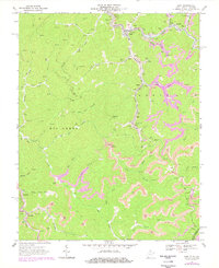
1967 Map of Gary
USGS Topo · Published 1978About this map
Gary and its surrounding coal-producing settlements define the landscape of McDowell County in this detailed study. The geography is dominated by the winding path of the Norfolk and Western railroad, which threads through the valleys of the Tug Fork and its numerous tributaries to serve the intense industrial operations of the era. The map records a complex network of mines, mine dumps, and expansive strip mines that trace the ridges above Elbert and Filbert.
Find a feature on this map
47 named features on this map. Tap any name to fly to it.
Don’t see what you’re looking for? This feature index may not catch every label — zoom into the map to look around manually.
Map Details
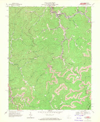
Editions of this 1967 Gary Map
2 editions found
Other maps of this area

1887 · Pocahontas
USGS Topo · 1:125,000

1891 · Tazewell
USGS Topo · 1:125,000

1891 · Pocahontas
USGS Topo · 1:125,000

1894 · Pocahontas
USGS Topo · 1:125,000

1895 · Tazewell
USGS Topo · 1:125,000

1895 · Pocahontas
USGS Topo · 1:125,000

1897 · Tazewell
USGS Topo · 1:125,000

1909 · Pocahontas Special
USGS Topo · 1:48,000

1911 · Pocahontas Special
USGS Topo · 1:62,500

1912 · Pounding Mill
USGS Topo · 1:62,500