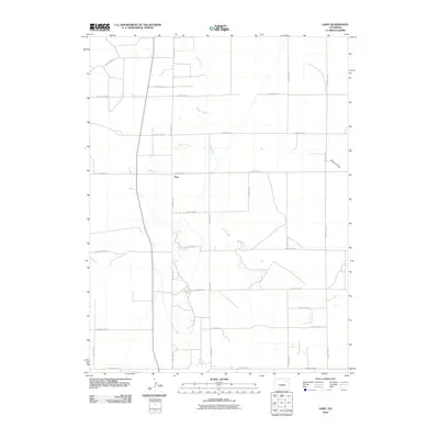
2010 Map of Gary
USGS Topo · Published 2010About this map
Gary sits at the heart of this Morgan County landscape, where the High Plains are defined by a precise grid of rural transit and shifting waterways. The settlement is positioned along County Rd-30, a primary north-south axis that bisects the territory. The natural drainage of the land is shaped by the meandering paths of Beaver Creek and Buck Creek, which snake through the sections, contrasting with the rigid geometry of the surrounding road network.
Find a feature on this map
21 named features on this map. Tap any name to fly to it.
Don’t see what you’re looking for? This feature index may not catch every label — zoom into the map to look around manually.
Map Details
Editions of this 2010 Gary Map
This is the sole edition of this map. No revisions or reprints were ever made.
Other maps of this area

1954 · Limon
USGS Topo · 1:250,000

1954 · Sterling
USGS Topo · 1:250,000

1957 · Limon
USGS Topo · 1:250,000

1958 · Limon
USGS Topo · 1:250,000

1958 · Sterling
USGS Topo · 1:250,000

1963 · Round Top
USGS Topo · 1:24,000

1965 · Gary
USGS Topo · 1:24,000

1965 · Huey Ranch
USGS Topo · 1:24,000

1965 · Miller Ranch
USGS Topo · 1:24,000

1973 · Woodrow
USGS Topo · 1:24,000