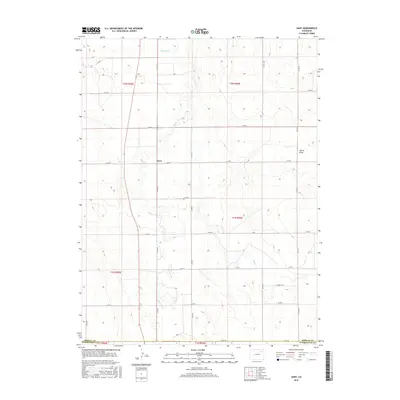
2016 Map of Gary
USGS Topo · Published 2016About this map
Gary sits as the central point of interest in this eastern Colorado landscape, where the high plains are defined by the winding course of Beaver Cr. The geography is shaped by the subtle drainages of the Buck Cr and the topographical depression known as Shears Draw. This 2016 survey illustrates a strictly grid-based rural development pattern, where a dense network of county roads, such as Co RD 30 and Co RD F, divide the land into neat sections across the Morgan Co and Washington Co border. The map captures the quiet character of the region, showing how the natural hydrology of the creek beds intersects with the rigid agricultural and property boundaries of the Public Land Survey System.
Find a feature on this map
27 named features on this map. Tap any name to fly to it.
Don’t see what you’re looking for? This feature index may not catch every label — zoom into the map to look around manually.
Map Details
Editions of this 2016 Gary Map
This is the sole edition of this map. No revisions or reprints were ever made.
Other maps of this area
1954 · Limon
USGS Topo · 1:250,000
1954 · Sterling
USGS Topo · 1:250,000
1957 · Limon
USGS Topo · 1:250,000
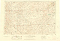
1958 · Limon
USGS Topo · 1:250,000
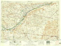
1958 · Sterling
USGS Topo · 1:250,000
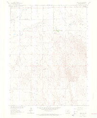
1963 · Round Top
USGS Topo · 1:24,000
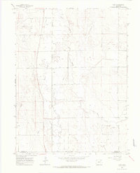
1965 · Gary
USGS Topo · 1:24,000
1965 · Huey Ranch
USGS Topo · 1:24,000
1965 · Miller Ranch
USGS Topo · 1:24,000
1973 · Woodrow
USGS Topo · 1:24,000