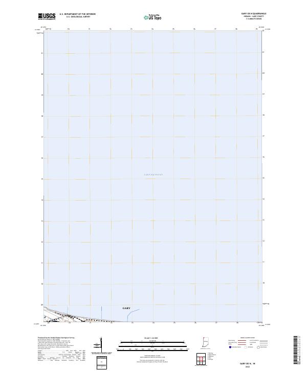
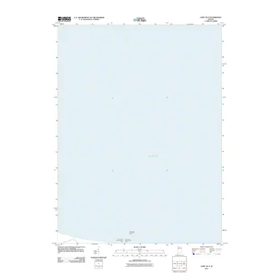
2022 Map of Gary OE N
USGS Topo · Published 2022About this map
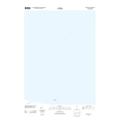
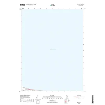
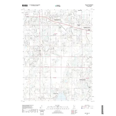
Lake Michigan dominates this coastal survey, covering the vast majority of the quadrangle north of the Indiana shoreline. On the southern edge of the sheet, the industrial landscape of Gary is partially visible, showing the interface between the urban grid and the lakefront. This particular view focuses on the offshore waters and the immediate northern boundary of the city within T37n R8w. The map serves as a specialized record of the shoreline and hydrography as they appeared in the early 2020s, documenting the precise extent of the waterfront and the northernmost reaches of the settlement before it transitions into the open water of the Great Lakes.
Find a feature on this map
3 named features on this map. Tap any name to fly to it.
Don’t see what you’re looking for? This feature index may not catch every label — zoom into the map to look around manually.
Map Details
Editions of this 2022 Gary OE N Map
This is the sole edition of this map. No revisions or reprints were ever made.
Historical Maps of Gary Through Time
19 maps found
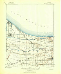
1900 Tolleston
Lake County, IN
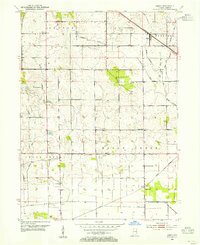
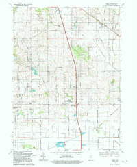
1953 Leroy
Lake County, IN
1969 Leroy
Lake County, IN
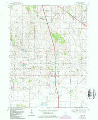
1992 Leroy
Lake County, IN
2010 Leroy
Lake County, IN
2010 Saint John
Lake County, IN
2011 Gary OE N
Lake County, IN
2013 Gary OE N
Lake County, IN
2013 Leroy
Lake County, IN
2013 Saint John
Lake County, IN
2016 Gary OE N
Lake County, IN
2016 Leroy
Lake County, IN
2016 Saint John
Lake County, IN
2019 Gary OE N
Lake County, IN
2019 Leroy
Lake County, IN
2019 Saint John
Lake County, IN
2022 Gary OE N
Lake County, IN
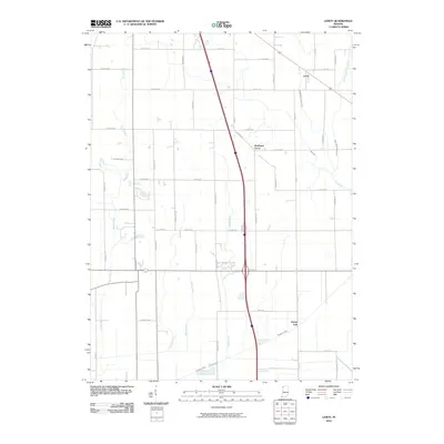
2022 Leroy
Lake County, IN
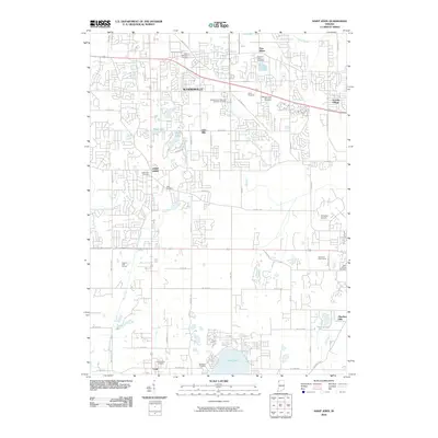
2022 Saint John
Lake County, IN