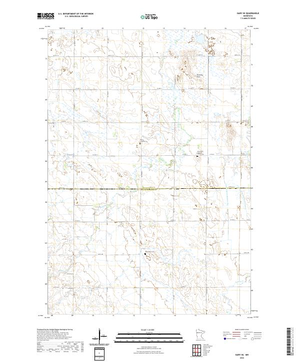
2022 Map of Gary SE
USGS Topo · Published 2022About this map
The Antelope Hills rise above the agricultural plains at the border of Lac qui Parle and Yellow Medicine counties in this detailed 2022 survey. This prairie landscape is defined by its water management and religious heritage, with numerous drainage projects such as Judicial Ditch Number One and County Ditch Number Forty-two modifying the natural flow of Florida Creek. These watercourses thread through a section-line grid of rural roads, including County Highway 4 and 100th Street North.
Find a feature on this map
42 named features on this map. Tap any name to fly to it.
Don’t see what you’re looking for? This feature index may not catch every label — zoom into the map to look around manually.
Map Details
Editions of this 2022 Gary SE Map
This is the sole edition of this map. No revisions or reprints were ever made.
Other maps of this area

1953 · Watertown
USGS Topo · 1:250,000

1958 · Watertown
USGS Topo · 1:250,000

1967 · Canby
USGS Topo · 1:24,000

1967 · Dawson SW
USGS Topo · 1:24,000

1967 · Gary
USGS Topo · 1:24,000

1967 · Canby NW
USGS Topo · 1:24,000

1967 · Porter
USGS Topo · 1:24,000

1967 · Gary SE
USGS Topo · 1:24,000

1967 · Gary NW
USGS Topo · 1:24,000
1967 · Dawson NW
USGS Topo · 1:24,000