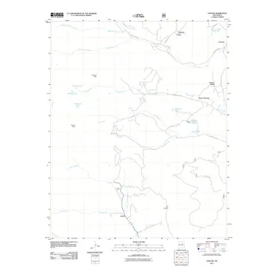
2011 Map of Gascon
USGS Topo · Published 2011About this map
The mountain settlements of Vallecitos and Pacheco Village anchor this corner of Mora County, illustrating a landscape defined by high-elevation water sources and narrow canyon valleys. The rural community of Cleveland sits in the northeast, while the Vallecitos Post Office remains a key local landmark for the surrounding ranchlands. The area's complex hydrology is evident in the network of alpine drainages including Middle Fork Rio de la Casa, Rito Garcia, and Rito San Jose, which feed into larger bodies like Morphy Lake and the smaller Enchanted Lake.
Find a feature on this map
38 named features on this map. Tap any name to fly to it.
Don’t see what you’re looking for? This feature index may not catch every label — zoom into the map to look around manually.
Map Details
Editions of this 2011 Gascon Map
This is the sole edition of this map. No revisions or reprints were ever made.
Other maps of this area
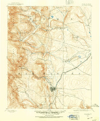
1889 · Las Vegas
USGS Topo · 1:125,000
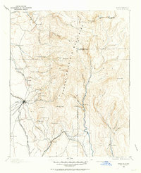
1889 · Santa Fe
USGS Topo · 1:125,000
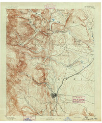
1891 · Las Vegas
USGS Topo · 1:125,000
1893 · Las Vegas
USGS Topo · 1:125,000
1894 · Santa Fe
USGS Topo · 1:125,000
1954 · Santa Fe
USGS Topo · 1:250,000
1954 · Raton
USGS Topo · 1:250,000
1958 · Raton
USGS Topo · 1:250,000
1958 · Santa Fe
USGS Topo · 1:250,000
1963 · Pecos Falls
USGS Topo · 1:24,000