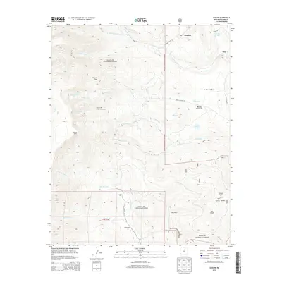
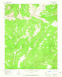
2013 Map of Gascon
USGS Topo · Published 2013About this map
Pacheco Village and Vallecitos anchor the eastern reaches of the Sangre de Cristo Mountains in this modern topographic study of Mora County. The landscape is defined by the steep transition from high peaks like Pyramid Peak and Gascon Point down to the valleys of the Rio La Casa and Rio Mora. Within the Santa Fe National Forest, numerous alpine water bodies including Pacheco Lake, Santiago Lake, and Enchanted Lake dot the high country, while Morphy Lake sits lower near the settlement of Gascon. This map captures a complex network of canyons such as Ute Canyon and Garcia Canyon, alongside landmarks like Camp Davis along State Rte 105. The intersection of drainage systems like the Rito de Gascon and Rito San Jose illustrates the critical role of mountain runoff for these northern New Mexico communities.
Find a feature on this map
40 named features on this map. Tap any name to fly to it.
Don’t see what you’re looking for? This feature index may not catch every label — zoom into the map to look around manually.
Map Details
Editions of this 2013 Gascon Map
This is the sole edition of this map. No revisions or reprints were ever made.
Other maps of this area
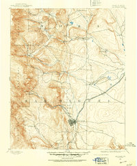
1889 · Las Vegas
USGS Topo · 1:125,000
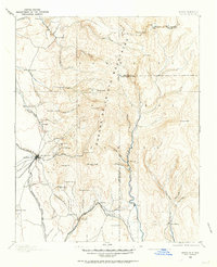
1889 · Santa Fe
USGS Topo · 1:125,000
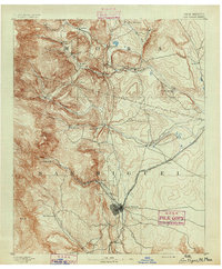
1891 · Las Vegas
USGS Topo · 1:125,000
1893 · Las Vegas
USGS Topo · 1:125,000
1894 · Santa Fe
USGS Topo · 1:125,000
1954 · Santa Fe
USGS Topo · 1:250,000

1954 · Raton
USGS Topo · 1:250,000

1958 · Raton
USGS Topo · 1:250,000
1958 · Santa Fe
USGS Topo · 1:250,000
1963 · Pecos Falls
USGS Topo · 1:24,000